Stake Out
Survey
Layanan Stake Out Survey profesional untuk memindahkan titik-titik desain dari peta ke lokasi aktual di lapangan. Dengan peralatan Total Station dan GPS RTK presisi tinggi, kami memastikan setiap titik koordinat, elevasi, dan batas proyek terukur dengan akurat untuk mendukung kesuksesan proyek konstruksi Anda.
Precision Marking
Millimeter accuracy
GPS RTK
Real-time positioning
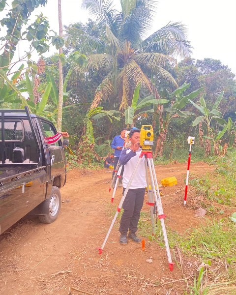
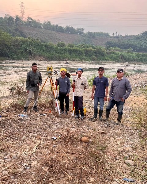
Tentang Stake Out Survey
Stake Out Survey adalah proses kritis dalam konstruksi yang memindahkan desain dari gambar teknis ke lokasi fisik di lapangan. Layanan ini memastikan bahwa setiap elemen konstruksi - mulai dari pondasi bangunan, jalan, utilitas, hingga batas properti - ditempatkan tepat sesuai dengan rencana desain.
SGTGeomedia menggunakan peralatan survey terkini termasuk Total Station robotik dan GPS RTK untuk memberikan akurasi penentuan posisi hingga level milimeter. Tim surveyor bersertifikat kami memiliki pengalaman luas dalam berbagai proyek konstruksi, dari perumahan hingga infrastruktur skala besar.
Stake Out Survey Process
A systematic approach to ensure accurate field marking every time
Design Review
Analyze construction drawings and coordinate with design team to understand project requirements
Control Setup
Establish survey control points and verify existing benchmarks for project reference
Field Marking
Precisely stake out points using Total Station or GPS RTK with proper monumentation
Documentation
Provide detailed stake out reports, sketches, and coordinate lists for construction teams